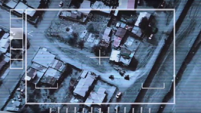
The Power Of Where: The UN’s Rapidly Expanding GEOINT Infrastructure
Geospatial intelligence (GEOINT) was defined in 2005 by James R. Clapper (Lt. Gen., USAF, Ret) as encompassing "all aspects of imagery and geospatial information and services. It includes, but is not limited to the analysis of literal imagery; geospatial data; and information technically derived from the processing, exploitation, literal, and non-literal analysis of spectral, spatial, and temporal fused products."
Read More


